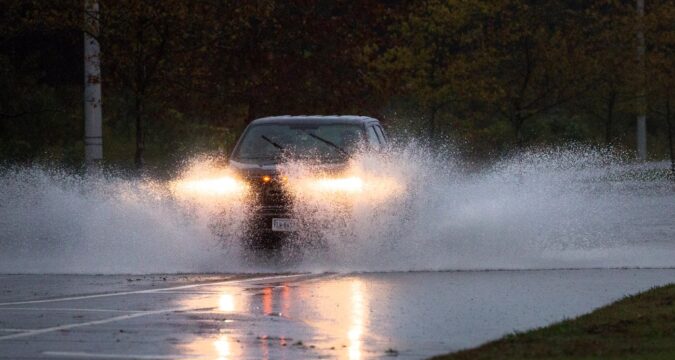
The approaching storm has slowed down, weather forecasters said Friday, and that isn’t good news.
As a result, the National Weather Service said, the effects of this weekend’s coastal storm may be worse and may last longer than originally feared.
One of those effects will be more rainfall. The estimated rainfall total from Thursday morning to Sunday morning was 2 inches at the most for Hampton Roads and northeastern North Carolina, but the new data shows as much as 3 inches for the entire region and 4 inches along the Oceanfront and Eastern Shore.
In the worst-case scenario, according to the weather service, rainfall totals could reach up to 6 inches for the majority of the region and 8 inches in localized areas.
“There will be a more prolonged impact of some stronger winds and rainfall totals have gone up as well, as a result of that,” said NWS meteorologist Mike Montefusco. “Those higher rainfall rates — the more persistent, locally moderate to locally heavy rainfall — those will start to move in (Saturday) night into Sunday morning.”
Battered Outer Banks expected to be thrashed again by high winds, heavy rain
The data still shows moderate (1-2 feet of inundation) to major (2-3 feet) coastal flooding Sunday and Sunday night, though the area expected to experience major flooding has shrunk. Instead of major flooding encompassing the entire coastline of Hampton Roads, the forecast now shows major flooding only in northern Virginia Beach and the areas along the coast of the James River, while the rest of the region is still expected to see moderate flooding.
The Lynnhaven River near the inlet is expected to see a peak tide height of 6 feet by 8 a.m. Sunday, 6 inches above a “major” tide height for that area. The James River at Sewell’s Point is expected to seek a peak tide height of 6.1 feet, which is considered “moderate” for that area.
The entire region, including the Eastern Shore and southern Maryland as well as the northern coast of North Carolina, will continue to see minor flooding of up to 1 foot through Monday night, according to NWS.
There will be an “extreme” marine threat potential of wind gusts greater than 48 knots (55 mph) for the entire Atlantic coast Saturday and Sunday nights, and a “significant” threat — meaning wind gusts greater than 34 knots (39 mph) — through Tuesday night.
https://www.dailypress.com/2025/10/10/storm-slows-impacts-hampton-roads/

